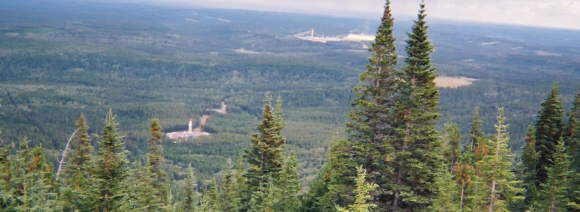
We acknowledge that the Pimee Godin Project is located in the traditional territories of the Bigstone Cree Nation which is comprised of the three communities: Calling Lake, Chipewyan Lake and Wabasca people of the Treaty 8. We acknowledge all Nations—Indigenous and non—who live, work and play on this land, and who honour and celebrate this territory.
The Godin property consists of 46 contiguous sections (29,440 acres, or 11,980 hectares) of land with mineral rights in multiple horizons. The primary zone of interest is the ‘Wabiskaw’ formation occurring at an average depth of approximately 480-500 metres. There are a number of analog wells which were drilled down and through the Wabiskaw on or near the Pimee lands. One in particular is the well located at 13-27-082-02W5 on the western edge of the acreage, which tested oil at a measured rate equivalent to 50 barrels of oil per day.
Approximately 26 kilometers to the east of the Godin property is the highly successful Canadian Natural Resources Limited (“CNRL”) Pelican Lake Heavy Oil Project, also known as the Brintnell Project. Godin property is located between the 13-27-082-02W5 well and the Brintnell project where CNRL is producing approximately 50,000 BOPD (Barrels of Oil Per Day) from the Wabiskaw Formation.
In the annual performance submission to the Alberta Energy Regulator by CNRL, they stated that primary recovery on their leases has been between 5 to 8%, while incremental polymer flooding has increased tertiary recovery to a range of 14% to 30%. Upon review of the Godin Heavy Oil property, the company has revealed that there are many similarities between the two areas in the Wabiskaw formation.

GET IN TOUCH
Contact Us
Fill out the form below, and we’ll be happy to get back to you as soon as possible.
